
1873 BRANCH
COUNTY PLAT
MAP

|
|
1873 BRANCH |
|
Courtesy of Rob Younce
robdale@torchlake.com
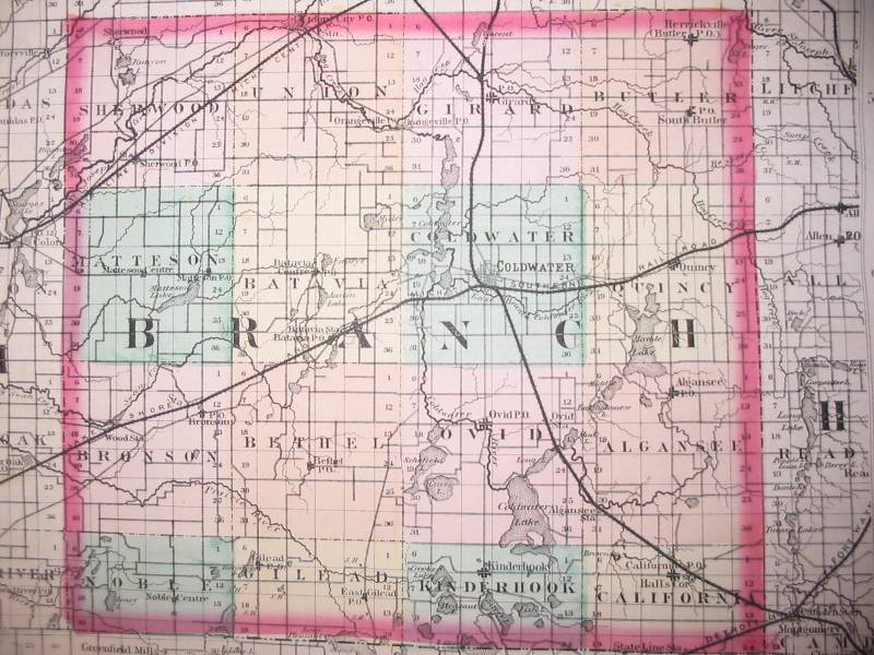
Rob Younce has scanned images of each Michigan
county from
an 1873 Atlas in his possession. These are great images to view.
The Branch county map is found below on this page or you can click the
link below to view maps from the entire state:
http://www.rootsweb.com/~migenweb/1873atlas/1873atlas.html